An Esri/ArcGIS field-inspection platform that puts the map at the center β equipping crews to run damage assessments, leak surveys and gas-insight inspections from the field, fast.


Crews use gMobile to capture exactly what they see on site β turning field observations into structured, location-aware data.
Document and locate damage in the field with map-anchored records for rapid response and reporting.
Walk and log leak surveys against the live map β coverage and findings captured precisely where they occur.
Specialized gas-utility inspections, structured for the data the operation needs to act on.
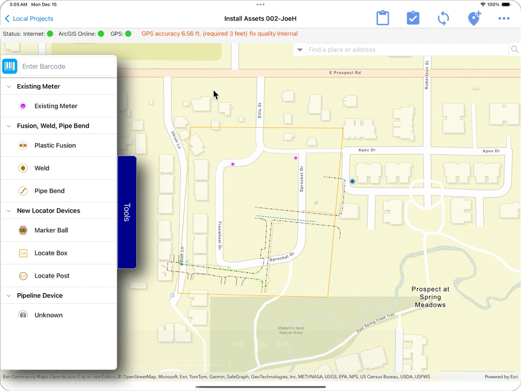
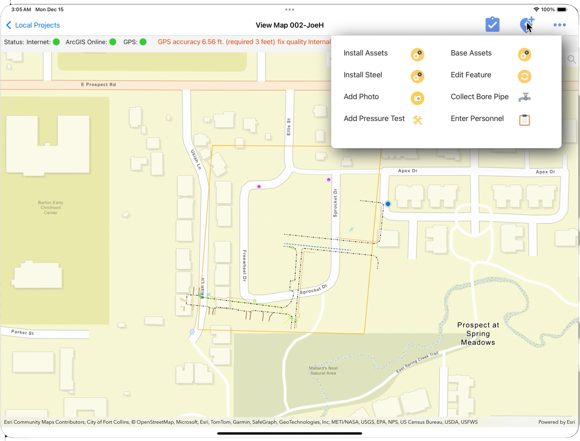
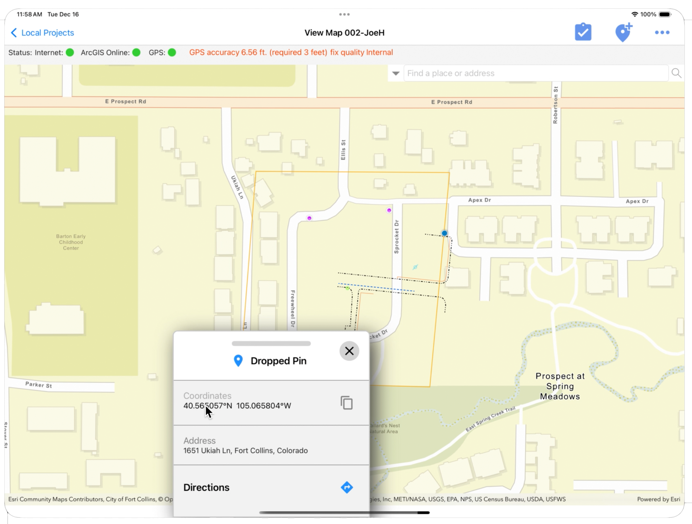
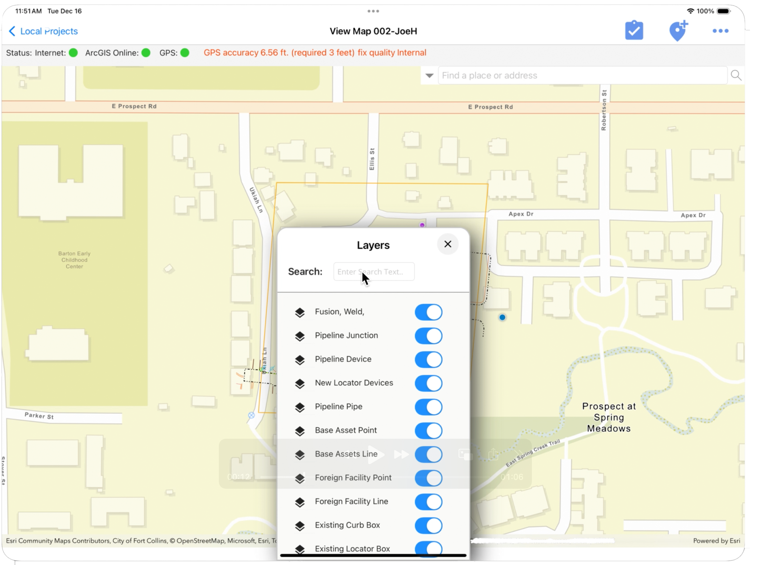
After an initial round of UX and performance work, I re-architected the inspection workflows into a vNext release built around a single, centralized mapping surface β collapsing scattered screens into one fluid, map-first experience.
Layers, tools and pins where field crews need them. Click any screen to enlarge.


A modern cross-platform stack pairing Esri's mapping power with a clean MVVM architecture and rich UI.